Appalachian Methane Initiative support
- Client Name
- Appalachian Methane Initiative (AMI)
- Location
- Appalachian Basin, USA

Challenge
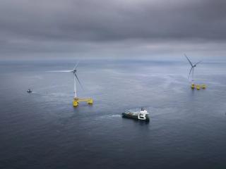
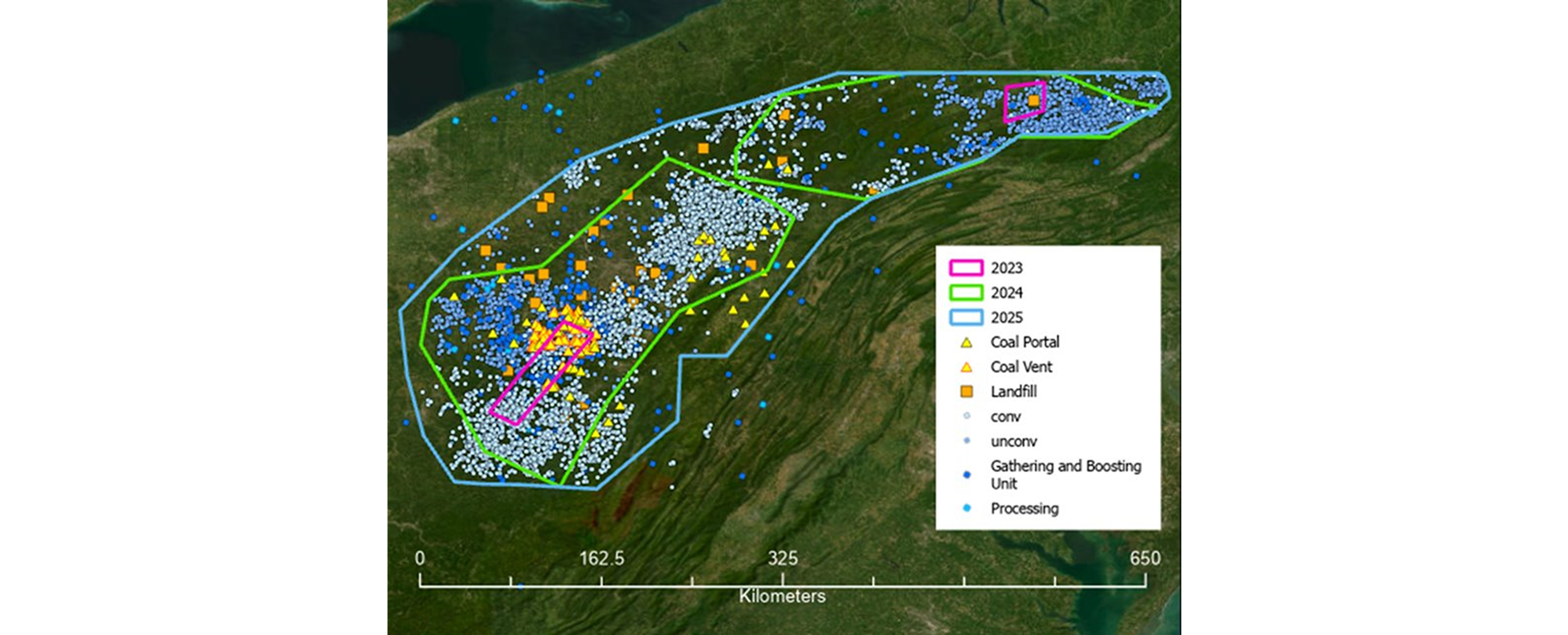
SLR serves as project manager for The Appalachian Methane Initiative (AMI), a coalition of leading upstream and midstream oil and gas companies in the Appalachian Basin. The multi-year project applies multiple aerial measurement methods to characterize methane emissions from both oil and gas and non-oil and gas sources across the basin. The aerial campaign spans more than 32,000 square miles and includes over 6,000 oil and gas sites as well as 180 coal and landfill facilities.
The AMI project focuses on three specific goals:
- Measure annual facility-level methane emissions of AMI member companies
- Estimate methane emissions across all O&G facilities in the basin, including non-AMI companies
- Assess the contribution of non-O&G facilities such as coal mines and landfills to the total regional methane emissions
SLR is well-positioned to achieve these objectives through its decades of experience in methane emission management, field measurement deployments, and established relationships in the oil and gas industry.
Solution
SLR manages the AMI project, coordinates the aerial field measurement campaign, and in collaboration with academic partners at the Energy Emissions Modeling and Data Lab (EEMDL), carries out independent and detailed analysis of methane emissions in the Appalachian basin. The findings support AMI’s objectives in understanding the type of methane emission sources and their relative contributions for individual operators, the broader O&G sector, and the non-O&G sites in the basin.
SLR is considered best-in-class for its technical and management expertise in methane emissions in the oil and gas industry. Its senior-level experts have led or participated in major published US field measurement and characterization studies and development of protocols and best practices in methane emissions from the oil & gas industry since the early 1990s.
Impact
As this project is ongoing, the following are a few findings observed to date:
- Survey results indicate that the Appalachian Basin is the lowest-emitting among the major U.S. basins.
- Conventional well sites are the single largest contributor from the O&G sector in the Appalachian Basin.
- Coal mines and landfills have significantly higher average emissions per site than O&G sites in the Appalachian Basin.
- Causal analysis helps identify operator-specific variability in methane emission distributions, enabling more effective mitigation.
- AMI sites have generally lower emission rates compared to non-AMI sites.
To read the latest AMI Report (new reports released annually), visit the University of Texas Center for Energy and Environmental Systems Analysis page.
Go to the AMI page on UTexas.edu