Donaldsons School landscape and visual appraisal (LVA) and landscape proposals
- Client Name
- CALA / City & Country
- Location
- Edinburgh, Scotland
Challenge
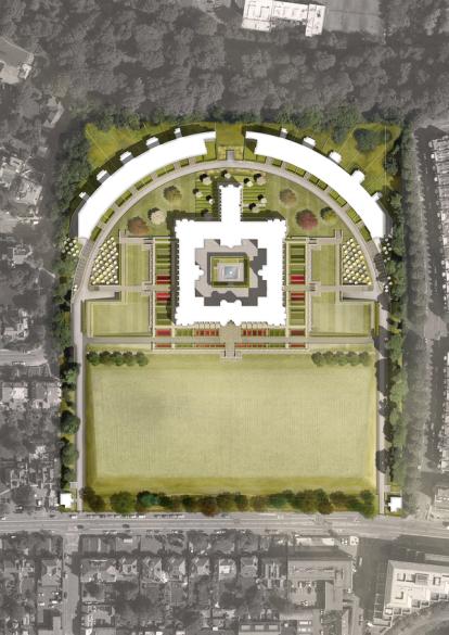
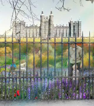
SLR’s Place team was appointed in 2014 to develop landscape proposals and undertake a Landscape and Visual Appraisal (LVA) for the redevelopment of Donaldsons School into a high-quality residential development.Proposals include the transformation of the existing Playfair designed school building, and the introduction of a new crescent of development to the north of the site.
Solution
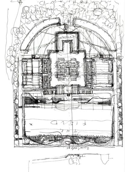
SLR’s Place team worked with the project team developing landscape proposals that respected and responded to the existing situation, and looked to enhance the character of the site for the new residential uses.
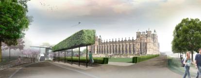
The existing Grade A listed building is set within seven hectares of grounds, positioned on the central axis of a large lawn to the south. The building provides a significant marker for those arriving into Edinburgh from the west, but is protected from adjacent areas by mature wooded boundaries to the west, north and east.
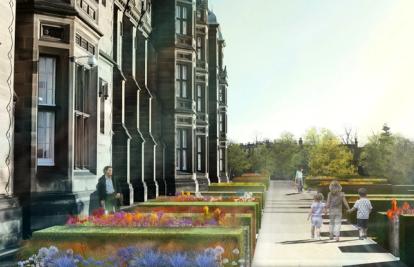
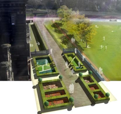
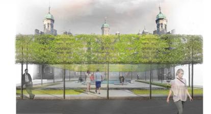
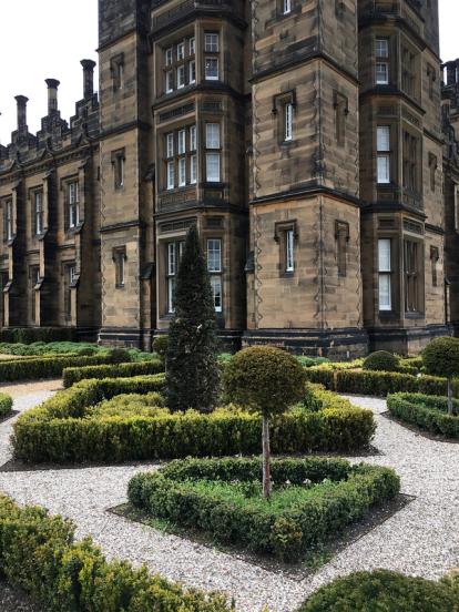
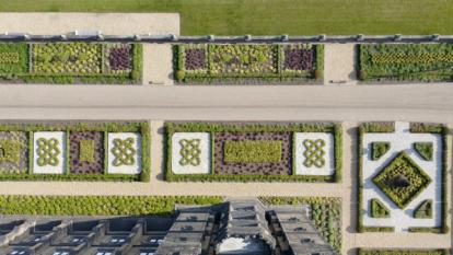
The site offered opportunities to create a landscape setting that intensifies and becomes more intimate in scale in the areas immediately adjacent to the buildings without detracting from the large scale setting. The completed scheme includes parterres, formal gardens and lawns as well as a sensitively renewed central courtyard.

Impact
Throughout the development of proposals, SLR’s Place team has been fully engaged with the consultation and planning process, attending events with statutory consultees such as Historic Environments Scotland and members of the public. The project is now complete with SLR’s Place team having provided construction information and support during delivery.
Contains Ordnance Survey data © Crown copyright and database right 2016.
Maps: Reproduced from Ordnance Survey digital map data © Crown copyright 2015.
Aerial images source: Esri, DigitalGlobe, GeoEye, i-cubed, USDA, USGS, AEX, Getmapping, Aerogrid, IGN, IGP, swisstopo, and the GIS User Community.
