

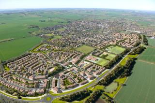
30-year masterplan for North Kyle Forest
- Client Name
- Forestry Commission Scotland
- Location
- East Ayrshire, Scotland

Challenge
North Kyle Forest is part of the National Forest Estate managed by Forest Enterprise Scotland, an agency of Forestry Commission Scotland. This 4000 ha site contains former opencast coal mines, commercial forestry, the South West Scotland Interconnector, a SSSI and areas of natural and geological interest. Situated within an area of East Ayrshire that has seen wider economic decline and the collapse of key industries. SLR's Place Team was commissioned to develop a 30-year masterplan in order to establish a collaborative vision of sustainable environments and developments that connect people, place and nature and creates an environment that enables economic, environmental and social regeneration locally.
Solution
The masterplan aims to create a lasting and positive legacy for the forest area that will replace a blighted landscape with something more natural and more welcoming; and helps deliver the Scottish Government's Objectives for a Wealthier and Fairer, Smarter, Healthier, Safer and Stronger and Greener Scotland.
Impact
The masterplan team engaged with schoolchildren, local groups and residents from the coalfield communities surrounding North Kyle Forest in a variety of ways. Their views and those of the statutory agencies working in the area were critical to the direction taken by the masterplan. A review of potential funding sources and external partners for a series of practical and creative projects demonstrate the multiple routes through which local and strategic regeneration can be delivered.
The project won the Landscape Institute Award for Strategic Landscape Planning and the judges commented that:
“the resulting masterplan is clear, realistic and deliverable, comprising multiple projects at varying scales, which combine to create the overall strategy.”
© Crown copyright and database rights 2015 Ordnance Survey 0100031673. Image © 2015 Google Earth. Image © 2015 Landsat

